webvic-b

twitter linkedinfacebookacp contact us

Technology

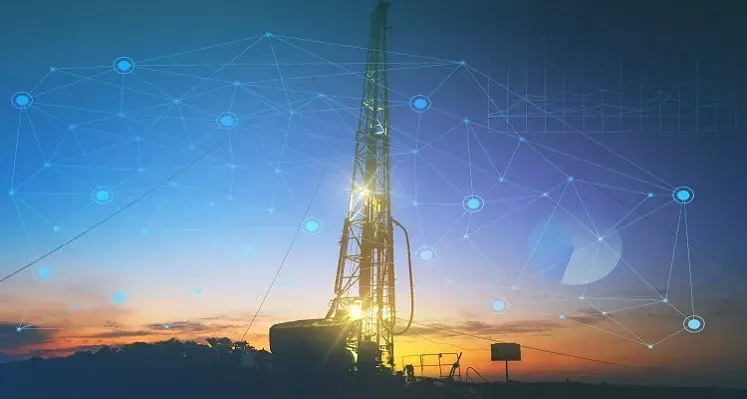
technology enables more efficient and reliablThe technology enables the acquisition of formation evaluation measurements in any well condition. (Image source: SLB)

SLB has introduced the OnWave autonomous logging platform, which has already been deployed successfully in the Middle East and could potentially revolutionise formation evaluation

The first-of-its-kind technology enables more efficient and reliable acquisition of formation evaluation measurements in any well condition — even in historically challenging tight gas and unconventional reservoirs — autonomously acquiring multiple, high-fidelity measurements downhole, without the need of a wireline unit, and wireline cable. Its cable-free design takes less than half the time to deploy compared with conventional wireline platforms, while enabling drill pipe rotation and mud circulation during logging operations, to enhance well safety and minimise stuck pipe events.

The OnWave platform executes tasks downhole that would typically be performed manually by engineers at surface, including borehole measurement acquisition and data quality checks. It also verifies the tool’s position and functionality downhole through constant communication with surface, assuring confidence in the data acquisition quality and avoiding remedial logging runs.

The acquired data is streamed to the SLB collaborative cloud, where it undergoes intelligent processing and interpretation. This data can be viewed on demand, for real-time insights and informed decision making.

OnWave has been deployed successfully across different regions, including in the USA and Middle East, demonstrating significant efficiency gains in complex well trajectories. In South Texas, the platform reduced the landing time to total depth of the well from hours to just 27 minutes — a 70% reduction compared with conventional deployment techniques. Processing of the measurements at surface provided high‑quality integrated petrophysics and acoustic insights, enabling the E&P operator to improve the stimulation and completion designs and derisk asset field development.

“The OnWave platform marks the beginning of a new era in formation evaluation,” said Frederik Majkut, president of Reservoir Performance, SLB. “By streamlining how we gather high-fidelity measurements downhole, we are opening up key opportunities for our customers to integrate data-driven decision making into their workflows across the well life cycle — from exploration through to production and recovery.”

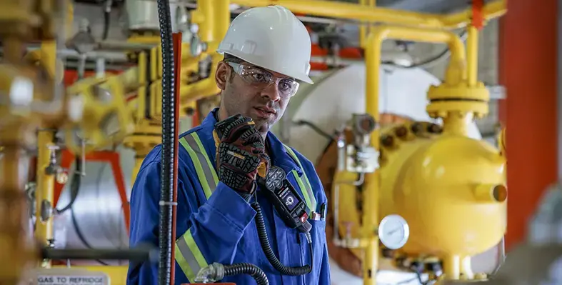
The system combines automation, real-time intelligence and advanced geological modelling to optimise well placement. (Image source: Halliburton)

Halliburton has launched LOGIX automated geosteering, a part of the LOGIX automation and remote operations family of solutions, that optimises geological interpretation and well placement

The service redefines geosteering precision by combining automation, real-time intelligence, and advanced geological modelling to optimise well placement, maximise recovery, and improve operational efficiency.

The system continually projects ahead to detect geological variations along the planned well path and updates it accordingly, reducing geological uncertainty and enabling timely and accurate drilling decisions to keep the wellbore in target zones and maximise recovery.

LOGIX automated geosteering integrates real-time resistivity, seismic, and formation imaging data to improve geological mapping and optimise reservoir exposure through automated trajectory control. The automated real-time boundary detection continuously updates the geological model to improve model accuracy and enable precise, real-time trajectory adjustments to stay in the reservoir. LOGIX automated geosteering uses real-time resistivity inversions and imaging data to identify new pay zones, define new targets, and make informed well placement decisions to optimise reservoir contact. It delivers real-time visualisation of key reservoir characteristics, including thickness and fluid contacts.

Automated calculations accelerate the time between detection and action to improve consistency and minimise errors. This can improve wellbore tortuosity, and accelerate well delivery.

The integration of LOGIX automated geosteering and LOGIX auto steer allows a smooth transition from well path updates to real-time drilling control to improve operational efficiency. Automated geosteering analyses and incorporates the data from offset wells, geological and seismic data, and real-time drilling and LWD data to improve subsurface insight and enable faster decision making.

The service can be integrated with the DecisionSpace earth modeling software to ensure automated data processing and uniform geological interpretations across different projects and teams.

“LOGIX automated geosteering creates value for our customers with services that provide subsurface and drilling customisation. We accomplish this with the optimisation of well placement and recovery,” saidJim Collins, vice president, Halliburton, Sperry Drilling.

The MoU signing. (Image source: Cloudera)

Cloudera and Aramco have agreed to collaborate to build AI-powered solutions to support the growth of the digital oil and gas sector in Saudi Arabia, combining Aramco’s industry expertise with Cloudera’s innovative data solutions

A particular focus will be developing and upskilling Saudi local talent in data engineering, data science, and analytics.

Cloudera and Aramco will jointly develop and implement data-driven solutions that leverage Cloudera's platform to further enhance Aramco's operational efficiency and competitiveness, unlocking new insights and driving business value through advanced data management, security, and analytics capabilities.

Cloudera and Aramco also plan to advance AI and data research, exploring emerging trends and technologies in big data, AI, and data science.

Cloudera's hybrid data-cloud solutions offer a robust foundation for securely managing data across environments while maintaining unified governance and real-time analytics capabilities. This aligns with Aramco's forward-looking vision in the data and AI field.

Ahmad Issa, regional vice president of the Middle East for Cloudera, said, “In seeking to collaborate with Aramco, our goal is to empower local professionals with the tools and knowledge they need to thrive in a data-driven economy. By investing in human capital, we’re supporting individual careers while contributing to the broader ecosystem of innovation and growth in Saudi Arabia.”

“We’re excited about the opportunity to contribute to Saudi Arabia’s digital economy, working with world-class organizations like Aramco to make smarter, data-driven decisions to stay ahead in today’s fast-paced world.”

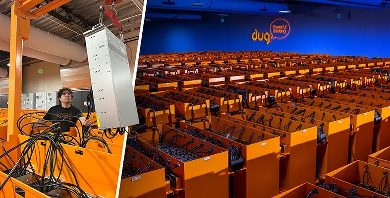
A comparison of DUG Elastic MP-FWI Imaging with traditional workflows. (Image source: DUG)

DUG shows how you can leap entire workflows in a single bound with DUG Elastic MP-FWI Imaging

DUG Elastic MP-FWI Imaging is a unique approach to seismic processing and imaging which turns the traditional paradigm on its head. It replaces not only traditional processing and imaging workflows, but also the subsequent inversion workflow for elastic rock properties.

The traditional processing workflow involves the testing and application of dozens of steps such as deghosting, designature, demultiple and regularisation, which are all designed to overcome the limitations of conventional imaging. These workflows are complex, subjective, and very time-consuming due to their serial nature and they rely on many assumptions and simplifications. All of these issues impact the output data quality. The resulting, primary-only data then undergoes a similarly complex model-building workflow to derive an estimate of the subsurface velocity, which is used for depth imaging. Post-migration processing is performed before the pre-stack reflectivity undergoes another workflow to derive rock properties that feed into quantitative interpretation, also relying on simplifications of the actual physics. As a result of these workflows, projects can take many months to years to complete.

Workflow 1

Elastic MP-FWI Imaging accounts for both compressional and shear waves, handling variations in seismic wave dynamics as a function of incidence angle, including in the presence of high impedance contrasts and onshore near-surface geological complexity. Multiples and converted waves are now treated as valuable additional signal, increasing sampling, resolution and constraining the inverted parameters.

As well as three-component reflectivity and velocity, DUG Elastic MP-FWI Imaging enables the estimation of fundamental rock properties like P-impedance, density and Vp/Vs from field data, without the need for a secondary amplitude variation with angle (AVA) inversion step. DUG Elastic MP-FWI Imaging simultaneously resolves not only subsurface structural features but also quantitative rock property information while avoiding the need for extensive data pre-processing and (post-imaging!) AVA-inversion workflows.

Get in touch

DUG Elastic MP-FWI Imaging leaps entire workflows in a single bound, delivering unsurpassed imaging and high-resolution rock properties from field-data input. Superior outputs, in a flash!

Talk to us today. Contact This email address is being protected from spambots. You need JavaScript enabled to view it.

DUG.COM

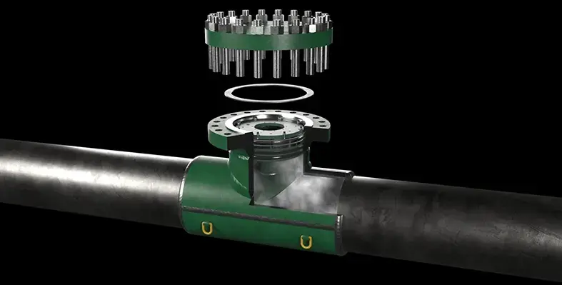
Key energy industry use cases enabled by IoT Nano include pipeline monitoring. (Image source: Adobe Stock)

Viasat a global leader in satellite communications, has launched its next generation IoT Nano connectivity service to deliver powerful, two-way messaging connectivity even in the most remote and challenging environments

IoT Nano is designed to meet growing global demand for cost-effective, low-data, low-power, Internet of Things (IoT) services across remote and challenging environments where mobile connectivity is often required. It enables organisations to effectively monitor and control fixed and mobile assets with ultra-reliable satellite coverage, especially in geographically dispersed, isolated, or hard-to-reach areas where terrestrial networks are limited or non-existent, through Viasat’s global L-band network.

Powered by ORBCOMM’s next-generation satellite IoT service, OGx, IoT Nano offers faster message delivery speeds, larger message sizes, and new hardware options, unlocking near real-time visibility and situational awareness and richer, more actionable data for energy operations even in remote locations.

Use cases

Key energy industry use cases enabled by IoT Nano include:

Asset tracking: Monitoring the location and movement of valuable equipment and vehicles across vast operational areas (e.g., pipelines, machinery, fleets).
Pipeline monitoring: Detecting anomalies, leaks, and ensuring the integrity of critical oil, gas, and water pipelines.
Security: Enhancing surveillance and access control for remote utility and oil & gas sites, including wellheads, substations, and pumping stations.
Tank level monitoring: Managing levels in storage tanks for oil, gas, and water, optimising supply chain and preventing overflows.
Telemetry: Collecting and transmitting vital operational data from remote sensors and devices for real-time insights and predictive maintenance.
Remote site monitoring: Gaining visibility into the status of pumps, generators, and other critical infrastructure in isolated locations.


Andy Kessler, vice president, Enterprise and Land Mobile, Viasat, said, "The IoT Nano service represents a significant advancement in providing flexible, scalable, and energy-efficient IoT connectivity to businesses operating in the most remote corners of the world. By leveraging the enhanced capabilities of the ORBCOMM OGx service and equipping our partner ecosystem with new low-cost modules and service capabilities, we are empowering customers with access to smarter data, more frequently, in more places, at a lower cost."

“OGx delivers faster speeds, larger messages, and lower power usage, all backed by ORBCOMM’s proven terminals, network, and field support,” said Dave Roscoe, president of Satellite IoT at ORBCOMM. “By lowering the cost and increasing the effectiveness of satellite connectivity, OGx makes it possible for our partners to enter new markets, expand use cases, and drive incremental growth.”

More Articles …