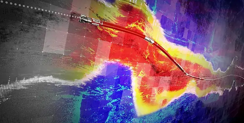
Halliburton has launched LOGIX automated geosteering, a part of the LOGIX automation and remote operations family of solutions, that optimises geological interpretation and well placement
The service redefines geosteering precision by combining automation, real-time intelligence, and advanced geological modelling to optimise well placement, maximise recovery, and improve operational efficiency.
The system continually projects ahead to detect geological variations along the planned well path and updates it accordingly, reducing geological uncertainty and enabling timely and accurate drilling decisions to keep the wellbore in target zones and maximise recovery.
LOGIX automated geosteering integrates real-time resistivity, seismic, and formation imaging data to improve geological mapping and optimise reservoir exposure through automated trajectory control. The automated real-time boundary detection continuously updates the geological model to improve model accuracy and enable precise, real-time trajectory adjustments to stay in the reservoir. LOGIX automated geosteering uses real-time resistivity inversions and imaging data to identify new pay zones, define new targets, and make informed well placement decisions to optimise reservoir contact. It delivers real-time visualisation of key reservoir characteristics, including thickness and fluid contacts.
Automated calculations accelerate the time between detection and action to improve consistency and minimise errors. This can improve wellbore tortuosity, and accelerate well delivery.
The integration of LOGIX automated geosteering and LOGIX auto steer allows a smooth transition from well path updates to real-time drilling control to improve operational efficiency. Automated geosteering analyses and incorporates the data from offset wells, geological and seismic data, and real-time drilling and LWD data to improve subsurface insight and enable faster decision making.
The service can be integrated with the DecisionSpace earth modeling software to ensure automated data processing and uniform geological interpretations across different projects and teams.
“LOGIX automated geosteering creates value for our customers with services that provide subsurface and drilling customisation. We accomplish this with the optimisation of well placement and recovery,” saidJim Collins, vice president, Halliburton, Sperry Drilling.
Halliburton launches LOGIX automated geosteering

The system combines automation, real-time intelligence and advanced geological modelling to optimise well placement. (Image source: Halliburton)


