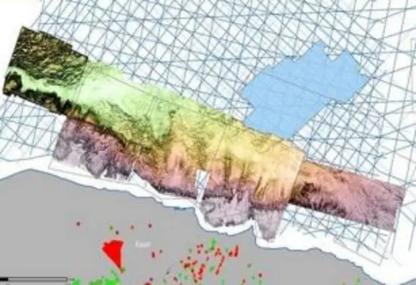
PGS has added five 3D seismic surveys to its data library offshore Egypt, to create new broadband 3D coverage of more than 18,700 sq km in recently awarded nearshore license blocks
The time-migrated data is available now, while final depth data will be ready in May 2022.
The five surveys were acquired in 2021 by PGS, in collaboration with EGAS, as part of an extensive 3D GeoStreamer data acquisition and imaging campaign in the Herodotus Basin, Egypt’s West Mediterranean Sea area.
This new 3D data provides detailed insights into opportunities that complement the regional geology and structural foundation provided by MultiClient 2D seismic available for this region. This enables operators in this area to identify prospects that are best aligned with their exploration goals.
The surveys cover several different geological domains. These include the shelf area, which is likely to rank highly as a focus for initial targets as it is an extension of the onshore western desert plays. Farther into the basin, there is the potential for shelf-edge structures and carbonate buildups, some of which are sealed by Messinian evaporites.
In the deeper water areas, plays relating to pre-Messinian salt structures and pinch-out features against the shelf edge are likely to be a focus for exploration. The variety of play types available and water depths will appeal to different company risk profiles.


