


STRYDE, a global leader in seismic acquisition technology and solutions, has launched STRYDE Lens, a new integrated in-field data processing service, which offers expedited access to interpretation-ready onshore subsurface images and has been successfully tested in the Middle East
This service enables businesses to accelerate their investment decisions relating to the subsurface domain, as well as enabling operators to utilise the data to enhance their comprehension of survey design, adjusting it in real-time during the seismic acquisition project to achieve unparalleled imaging outcomes. Processing sequences can commence as soon as sufficient data is acquired, eliminating the necessity to wait until the seismic survey concludes, as well as allowing the processing to get a head start in defining processing parameters for the final deliverables. This solution significantly shortens seismic project timelines, resulting in substantial time and cost savings for clients.
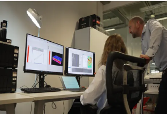
The solution integrates with STRYDE's seismic recording devices and data acquisition system, transforming it into a state-of-the-art, remotely accessible processing environment, allowing STRYDE’s processing team to execute in-field or in-country processing seamlessly.
The effectiveness of the solution was recently demonstrated through the utilisation of STRYDE Lens to process a total of 200 km of 2D seismic data lines in the Middle East. The entire project was managed within the country using the STRYDE Nimble acquisition system, which was accessed remotely from London. A high-priority batch of seismic data was successfully delivered a month following the completion of the acquisition, playing a pivotal role in guiding drilling decisions.
Amine Ourabah,cheif geophysicist at STRYDE explained, “STRYDE Lens brings the processing service closer than ever to the acquisition phase. By enabling remote initiation of data processing on the same system where it's been acquired, companies can access an image of the subsurface very shortly after the end of the seismic survey, while keeping the data within the country. By operating in this way, the service opens up access to expert, fast-track processing for companies in the Middle East and other regions where laws restrict data from leaving the country.
"This also facilitates best-in-class seismic processing geophysicists to collaborate on the data from any location globally, all while adhering to data export regulations.”