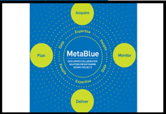
Sercel, a leading provider of software systems and services for seismic operations, has launched MetaBlue, a data-driven solution for marine seismic survey planning and management
MetaBlue assists E&P companies and marine seismic service providers in reducing project turnaround times by seamlessly connecting every phase of a marine seismic project, facilitating greater collaboration between project stakeholders from the outset. MetaBlue optimises marine seismic surveys by driving superior operational performance and guaranteeing delivery of the highest quality seismic data for unsurpassed subsurface imaging.
With the ability to bring together all the information relating to an offshore seismic survey within a single ecosystem, project stakeholders can easily access and exploit all the different data from the various survey technologies and equipment used throughout a seismic survey, including Sercel’s navigation and planning software, advanced MEMS-based node portfolio, towed-streamer technology, advanced source solutions, and survey optimisation services. By being able to leverage efficiently all the survey data from these different project components within the MetaBlue ecosystem, project stakeholders can make holistic decisions at every stage of the survey, revolutionising project planning, execution, and completion.
Emmanuelle Dubu, CEO of Sercel, said, “We are delighted to introduce MetaBlue to the market, a true survey game-changer that will reshape the way offshore seismic projects are planned, managed, and executed.”
Sercel has also announced that it has extended its portfolio of seabed nodal solutions for all water depths down to 6,000 m to meet growing industry demand for ocean bottom node (OBN) seismic surveys. Based on Sercel’s unique QuietSeis broadband digital sensor technology, the full OBN portfolio includes the GPR300, the GPR700, the GPR3000 and the MicrOBS. These are all seamlessly integrated into the new MetaBlue marine survey management solution.


